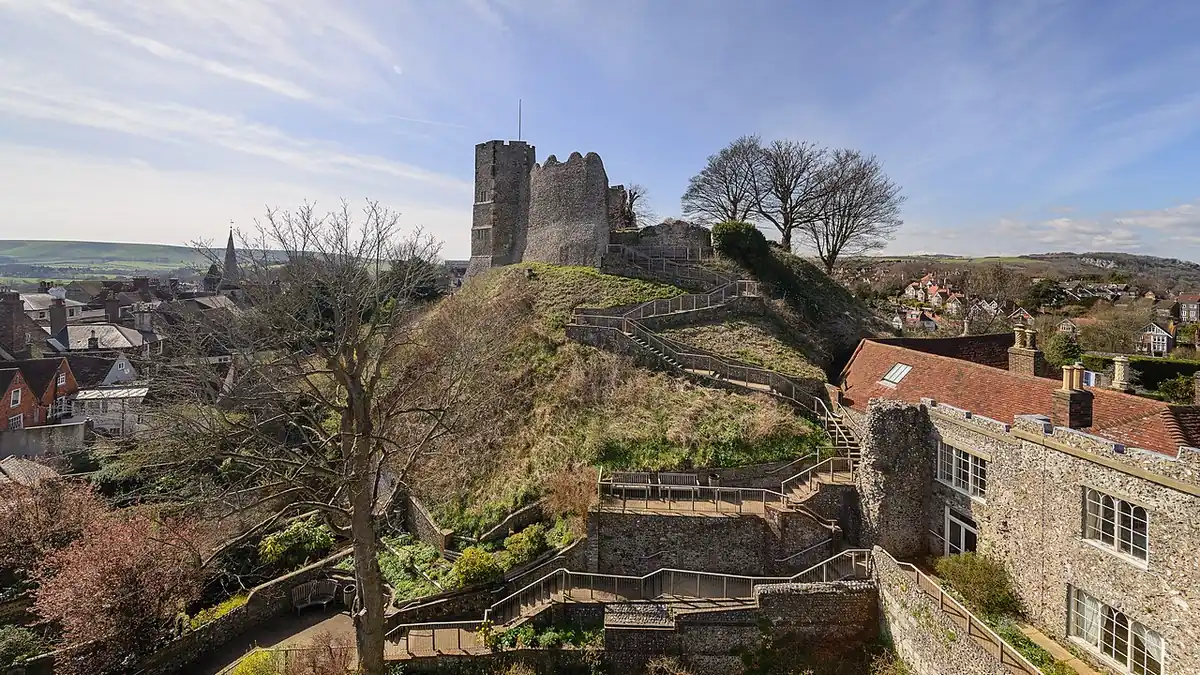
 Photo: Arild Vågen, CC BY-SA 4.0

Test version
Lewes in 3D
The town in its landscape: the castle on its mound, the river below and the Downs all around, with LewesGo's own pins.
Lewes sits in a gap the River Ouse cut through the South Downs. The castle stands on a chalk spur above the river, Cliffe Hill and Malling Down rise steeply to the east, and Offham Hill and the downland around Mount Harry climb to the north-west, where the Battle of Lewes was fought in 1264. A flat map hides most of that. This view lifts the land into 3D so you can see why the High Street climbs, why the Cliffe floods, and how close the open Downs are to the middle of town.
The 3D view downloads about 400 KB of map software, plus the terrain as you look around, so it starts only when you ask. It works best on a recent phone or computer.
The 3D view needs JavaScript. The flat map works everywhere.
Map data © OpenStreetMap contributors. Terrain from Mapzen Terrain Tiles (sources). Building heights from the Environment Agency (Open Government Licence). 3D software: MapLibre.
How to use it
Drag to move around. To tilt and turn the view, drag with two fingers on a phone, or hold the right mouse button (or Ctrl) and drag on a computer. The buttons jump to a few favourite viewpoints: the town centre from above, the view from Offham Hill where the battle began, the view back across the town from Cliffe Hill, and the length of the Ouse valley from the south. Tap a pin for its details, a link to its website and directions.
What you are looking at
Buildings are drawn from OpenStreetMap's outlines, each rising to the height the Environment Agency measured from the air with a laser survey. Pitched roofs are drawn as steps at a typical slope, and large buildings with flat tops. They show each building's real footprint and height, though not its windows or details. The ground comes from open elevation data, which is detailed enough for the hills and the valley but not for single walls or banks; the height is exaggerated slightly so the Downs read clearly. This is a test version: we plan to add finer Environment Agency survey data, walking routes and more of the directory. Tell us what you would like to see on it.
The pins are the same as on the map of Lewes and the calendar: landmarks, today's events, the Bonfire societies' fire sites (from Visit Lewes's list, placed by us) and the town's pubs. Confirm details with the organiser before you set out.